WHAT IS 3EDATA?
We are a technology-based company that offers engineering solutions based on the collection and analysis of environmental data. We also provide project management services, which means that we establish, plan and manage the different phases of environmental projects, in such a way as to optimise the resources allocated, minimising environmental costs and supporting the decision-making process of our clients, both public and private.
3edata emerges from the research group -1934 Land and Biodiversity- of the Campus Terra of the University of Santiago de Compostela. Our objective is to assist public and private entities in accessing research projects, especially those based on the use of remotely piloted aerial platforms (RPAS), equipped with multispectral and LiDAR sensors.
LASTEST NEWS
3edata presents results of its work at events of the Directorate-General for Defence Industry and Space and the European Space Agency
- June 04
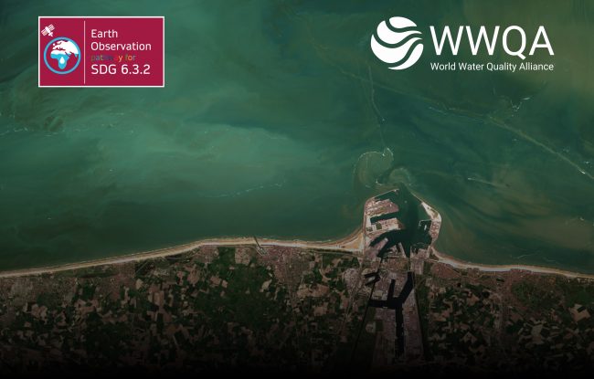
3edata will participate in a project approved by the World Water Quality Alliance (WWQA) within the Earth Observation work stream
- April 15
Nature FIRST: Intro and Demo of Solutions for Biodiversity Monitoring
- April 11


