DETALLES DEL PROYECTO
Individualization and Characterization of Trees in the Extremaduran Dehesa using Remote Sensing and LiDAR Data
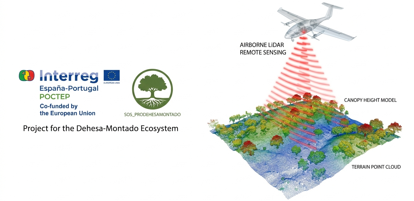
3edata has developed the service for the individualization and characterization of trees in the dehesa ecosystem in Extremadura using advanced remote sensing techniques. This project is part of the cross-border program INTERREG SOS_PRODEHESAMONTADO and was promoted by the Junta de Extremadura through the Regional Ministry of Forest Management and Rural World.
Scope and Extent of the Project
The work covers an area of approximately 1,600,000 hectares of dehesa lands across the entire autonomous community of Extremadura. The action is based on the massive processing of airborne laser sensor data (LiDAR-PNOA 2023) to individually identify and analyze each tree specimen with a height greater than 2 meters.Main Technical Actions Carried Out
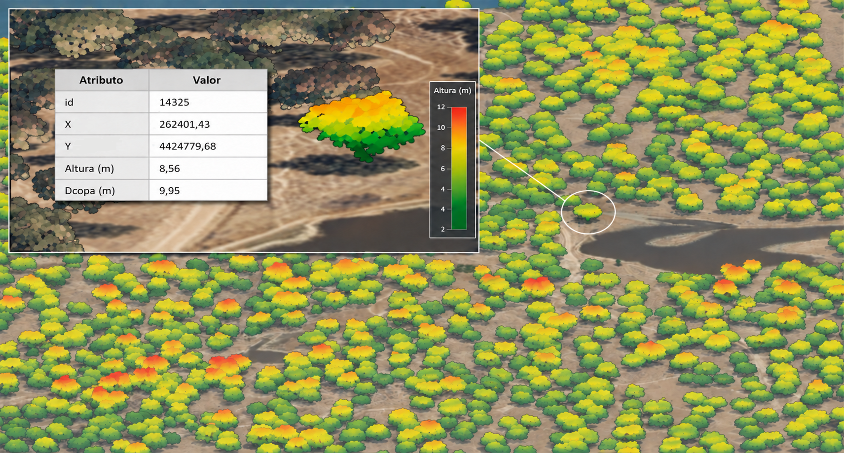
• Crown Detection and Segmentation (\\\\\\\\\\\\\\\\\\\\\\\\\\\\\\\"Individual Tree\\\\\\\\\\\\\\\\\\\\\\\\\\\\\\\"): Application of spatial processing algorithms adapted to tree density and morphology to define the exact outline of tree crowns. • Species Discrimination: Automated classification of the main forest species in the dehesa ecosystem, distinguishing between holm oak (Quercus ilex), cork oak (Quercus suber), and Pyrenean oak (rebollo). • Estimation of Height Growth (2018–2023): Tree-by-tree comparison between the 2023 LiDAR data and the previous 2018 coverage to determine height increment and annual growth rate. • Dassometric Characterization and Age Classes: Estimation of trunk diameter (girth at breast height), basal area, and categorization of trees according to their age classes (regenerated/small trees, young, adult, and old trees) in accordance with Extremadura\\\\\\\\\\\\\\\\\\\\\\\\\\\\\\\'s forest planning regulations. • Digital Models and Vegetation Metrics: Generation of Digital Terrain Models (DTM), Canopy Height Models (CHM), and extraction of LiDAR structural statistics (maximum and mean heights, percentiles, and return intensities).Deliverables and Value for Forest Management
All spatial information produced has been structured into vector geographic layers organized in 1x1 km grids, accompanied by attribute tables for individual trees and crowns. These data provide the environmental administration with a high-precision cartographic tool for the monitoring, conservation, and sustainable management of the dehesa ecosystem.
Funding
3edata was contracted by the Junta de Extremadura within the framework of the cross-border project INTERREG SOS_PRODEHESAMONTADO (co-funded at 75% by the European Regional Development Fund) through the INTERREG VI-A Spain-Portugal (POCTEP) program.