DRONFORE: Comprehensive Monitoring System, Post-Fire Ecosystem Restoration, and Carbon Credit Certification with UAS
The DRONFORE project (Drones para a Protección do Monte Galego: Sistema Integral de Monitorización, Restauración Ecosistémica Post-Incendio y Certificación de Créditos de Carbono con UAS) is an industrial research initiative aimed at transforming forest surveillance, biomass management, and the restoration of burned areas through the use of unmanned aerial systems (UAS) and high-precision remote sensing.
Developed over a 30-month period (2026–2028), the project falls under the grants of the Industria Innova 2026 initiative (procedure code IG530B), promoted by the Galician Institute for Economic Promotion (Igape) and co-financed by the European Union through the Galicia ERDF (FEDER) 2021–2027 Program.
The initiative has a total eligible budget of €2,819,716.50 and is executed by a consortium of six benchmark entities: AEROMEDIA UAV (group leader), 3EDATA INGENIERÍA AMBIENTAL, SIXTEMA, CUATRODIGITAL, DOOINGIT, and the technological center CATEC.
Innovative Objectives and Technological Architecture
DRONFORE addresses the limitations of traditional forest management by connecting field data capture with strategic decision-making through a unified digital value chain. The project\\\\\\\\\\\\\\\'s technological platform articulates advanced solutions such as:
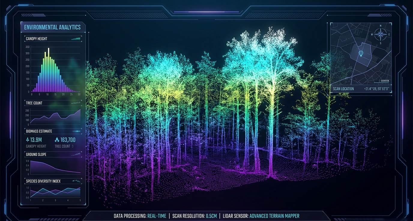
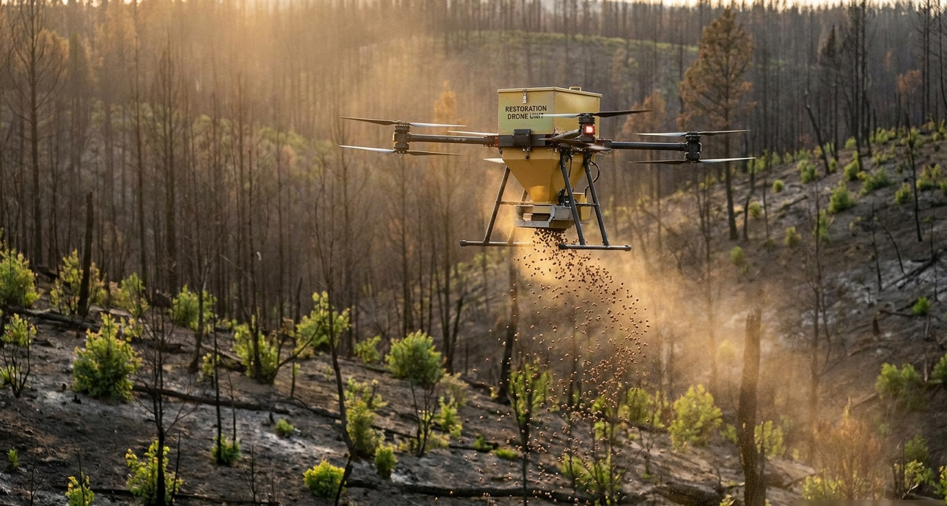
• Tethered UAS systems for persistent surveillance and emergency communications support in burned areas. • Autonomous UAS for aerial seeding and seed dispersal in hard-to-access terrain or steep slopes. • Multispectral remote sensing and high-density LiDAR for the characterization of forest structure, biomass, and necromass. • Territorial Digital Twin for geospatial data integration and restoration scenario simulation. • Blockchain traceability and certification to guarantee the immutability of carbon absorption data.
The Role of 3EDATA
As a spin-off of the University of Santiago de Compostela (USC) specializing in environmental engineering and applied remote sensing, 3EDATA contributes its expertise in geospatial data modeling and environmental indicators. Within the framework of DRONFORE, 3EDATA technically leads:
Additionally, the team participates in defining mission systems, collaborates on developing Artificial Intelligence algorithms for automatic carbon calculation, provides analytical layers to the Territorial Digital Twin, and assists in validation tests in real controlled scenarios.
For the execution of its activities, 3EDATA has an approved eligible budget of €281,137.50, 60% co-financed by the Galicia ERDF (FEDER) 2021–2027 program. Through this project, 3EDATA reaffirms its commitment to innovation in natural resource management and the resilience of Galician forests.
Operation co-financed by the European Union within the framework of the Galicia ERDF (FEDER) Program 2021–2027 and the Galician Institute for Economic Promotion (Igape), under the Industria Innova 2026 initiative (File IG530B-2026-000-000065).
Project reference: IG530B - Grants for the Industria Innova initiative
Project acronym: DRONFORE
Duration:30 months
Total budget: €2,819,716.50
European Union contribution: €1,691,829.91